So, can you use Maps when you work as a professional driver? Of course.
But is useful as Gps Navigation when you drive a large truck or bus? Not on its own.
For now, Google Maps does not officially have a useful navigation mode for large vehicles (trucks, coaches, etc.). But many already use this popular application for the multitude of benefits it offers.
Compared to other Gps apps for Android, Google Maps offers a complete and continuously updated database of points of interest and addresses.
On the other hand, it does not offer complete pieces of information for truck drivers such as Sygic Truck or iGO Nextgen do.
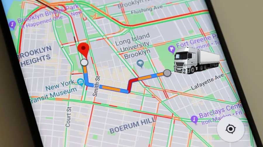
This app is useful for professional truck drivers because they can find delivery addresses fast using coordinates or looking on the map and choosing a destination.
There is no other GPS application that is as complete as addresses and points of interest like Google Maps is.
Can Google Maps be used in truck mode?
Officially not. Google Maps only supports car, bike, pedestrian, and transit mode.
How can you still use Google Maps for truck or other large vehicles?
The only method is to use a truck navigation application like Sygic or iGO Nextgen along with another application called Send to Navigation.
How to use Google Maps, iGO and Send to Navigation
Install iGO or Sygic Truck and set the parameters of the truck to make sure that the route will be correctly generated depending on the restrictions and dimensions of the lorry.
Install the Send To Navigation application.
Enter Google Maps and search for the location or coordinates of the place where you need to go by truck.
Then Share to that location, and from the list that appears open Send to Navigation app.
Send to Navigation will open, and from the main screen, you will choose to send the location to iGO or Sygic, depending on what you have installed.
The iGO Nextgen program will receive the information and start, generating a route with restrictions specific to your truck to the address entered in Google Maps.
It is a slightly complicated method, but it helps you when you can't find a specific address.
Google Map destination share to iGO without third-party app
Newer versions of iGO Nextgen Truck support receiving coordinates directly from Google Maps.
If you have a newer version, you can try the steps below.
Open Google Maps and search for the address where you want to go by road train.
Once you find the address, give Share, and you should see a list of applications where you can share your location. Among them, you will see and choose iGO Nextgen app.
Click on the iGO app, and it will load the chosen destination in Google Maps.
Then it will generate a route with specific restrictions depending on the length and weight of your truck.
These are some partial methods for using Google Maps when you are a lorry driver. Of course, we expect Google to introduce a specific routing mode that can be used directly from the application.


